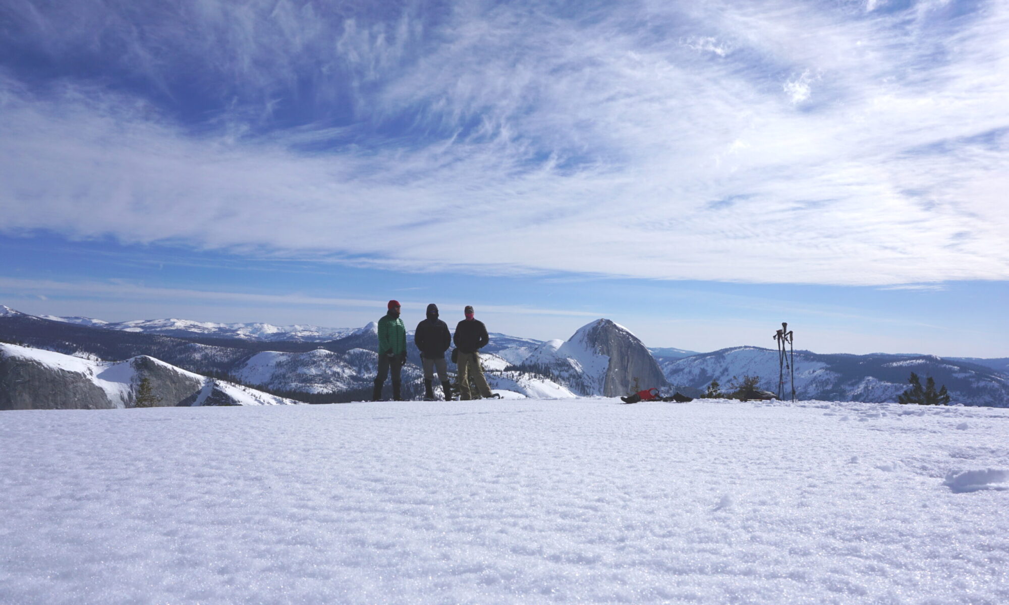
The team from AcadianX traveled to the northwest to take on the Northern Traverse at Glacier National Park. Glacier National Park is an American national park located in northwestern Montana, on the Canada–United States border, adjacent to the Canadian provinces of Alberta and British Columbia. The park encompasses over 1 million acres and includes parts of two mountain ranges, over 130 named lakes, more than 1,000 different species of plants, and hundreds of species of animals. This vast pristine ecosystem is the centerpiece of what has been referred to as the “Crown of the Continent Ecosystem,” a region of protected land encompassing 16,000 square miles.
The Northern Traverse
This six-day, relatively mellow route transects Glacier’s ice-carved backcountry on-trail, making it both epic and accessible. En route you will pass lakes and creeks and hike over three high passes over a distance of 62 miles and with an average daily elevation gain of nearly 2,000 feet.
Our Route
To begin the trek we started near the Kintla lake Ranger Station and headed northeast as we crossed through several lush meadows along the Upper and Lower Kintla Lakes and camped near the beach at the Upper Kintla Lake campground.
The next day we climbed 3,120 feet to Boulder Pass and made our way through the cairns guiding our path while taking in some of the most spectacular views of the trip. We then descended 1,266 feet to Brown Pass where we met several groups of friendly backpackers and camped for the night while telling stories of the days journey.
The following day we headed east and made a pit stop at Frances Lake for some beautiful photo ops. We then continued on toward the Goat Haunt Ranger Station on Waterton Lake descending another 2,047 feet where a ferry is available for an excursion into Canada if you were to so choose. We then headed south where we finally made camp at Kootenai Lake.
On day four we started from the Kootenai Lake camping area and continued our journey south through the Waterton Valley until we reached the Stoney Indian Pass Trail junction and took that trail heading east toward the Pass. The climb to the pass was an elevation gain of 2,441 feet with a quick dip and swim at Stoney Indian Lake. Once we reached the pass we began to descend 1,962 feet down the other side passing magnificent waterfalls and cliffside vistas until we reached the foot of Glenn Lake where we made camp for the night.
The fifth day we awoke to a friendly bear enjoying his breakfast of the local berries and continued to travel east until we reached the Mokowanis River Ford where we crossed the river. We then traveled south, making a pit stop at the Dawn Mist Falls for a photo op, before finally reaching the foot of Elizabeth Lake where we made camp for the last night.
The final day we continued on our southern heading and began the 2,345 foot climb to the Ptarmigan Tunnel where we took a short cut through the mountain. On the other side of the tunnel was home stretch and we began descending another 2,296 feet to the trailhead near Swiftcurrent Lake.


