
Zion
Description
Utah’s First National Park
Zion National Park is an American national park located in southwestern Utah near the town of Springdale. A prominent feature of the 229-square-mile (590 km2) park is Zion Canyon, which is 15 miles (24 km) long and up to 2,640 ft (800 m) deep. The canyon walls are reddish and tan-colored Navajo Sandstone eroded by the North Fork of the Virgin River. The lowest point in the park is 3,666 ft (1,117 m) at Coalpits Wash and the highest peak is 8,726 ft (2,660 m) at Horse Ranch Mountain. Located at the junction of the Colorado Plateau, Great Basin, and Mojave Desert regions, the park has a unique geography and a variety of life zones that allow for unusual plant and animal diversity. Numerous plant species as well as 289 species of birds, 75 mammals (including 19 species of bat), and 32 reptiles inhabit the park’s four life zones: desert, riparian, woodland, and coniferous forest. Zion National Park includes mountains, canyons, buttes, mesas, monoliths, rivers, slot canyons, and natural arches.
The Zion Traverse Trek
The “Trans-Zion Trek” (also referred to as the “Zion Traverse”) is a multi-day backpacking hike that connects several of Zion’s trails into one long route from one corner of the park to the other. This strenuous and beautiful hike can take on average between three to five days and involves a lot of elevation gains and drops. Along the way, you will see some of Zion’s most awe-inspiring scenery as well as many beautiful spots that most dayhikers never experience. Total mileage: roughly 48 miles. Before attempting this hike, you must work out the logistics of getting backcountry permits, planning your campsite spots for each night, car shuttles/car spots, and water sources (caching water and/or using available springs and streams).
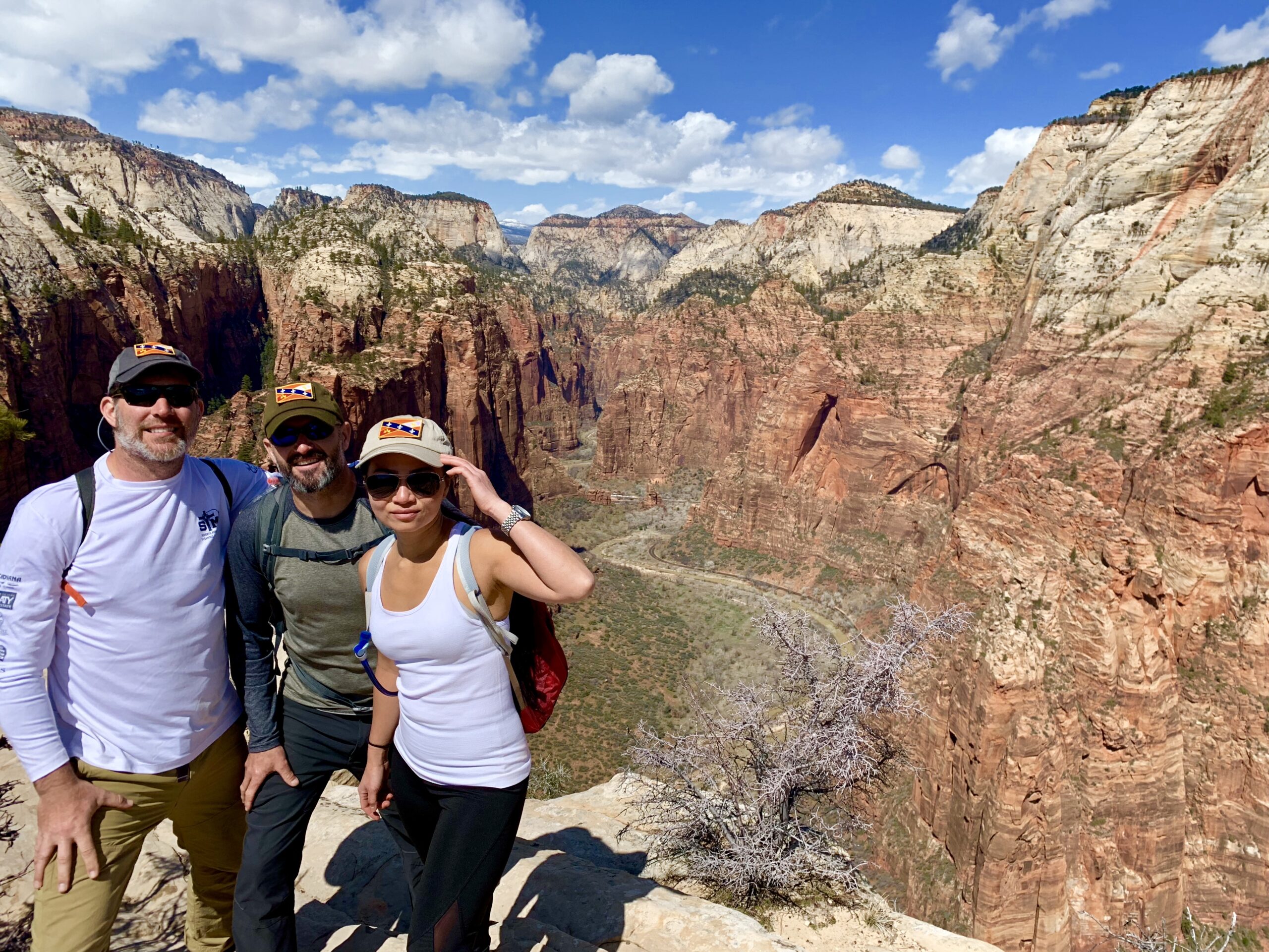
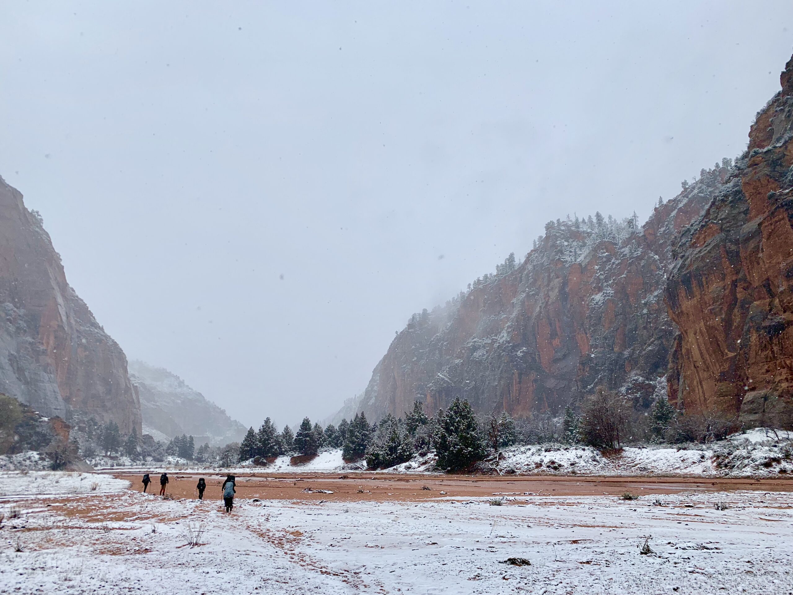
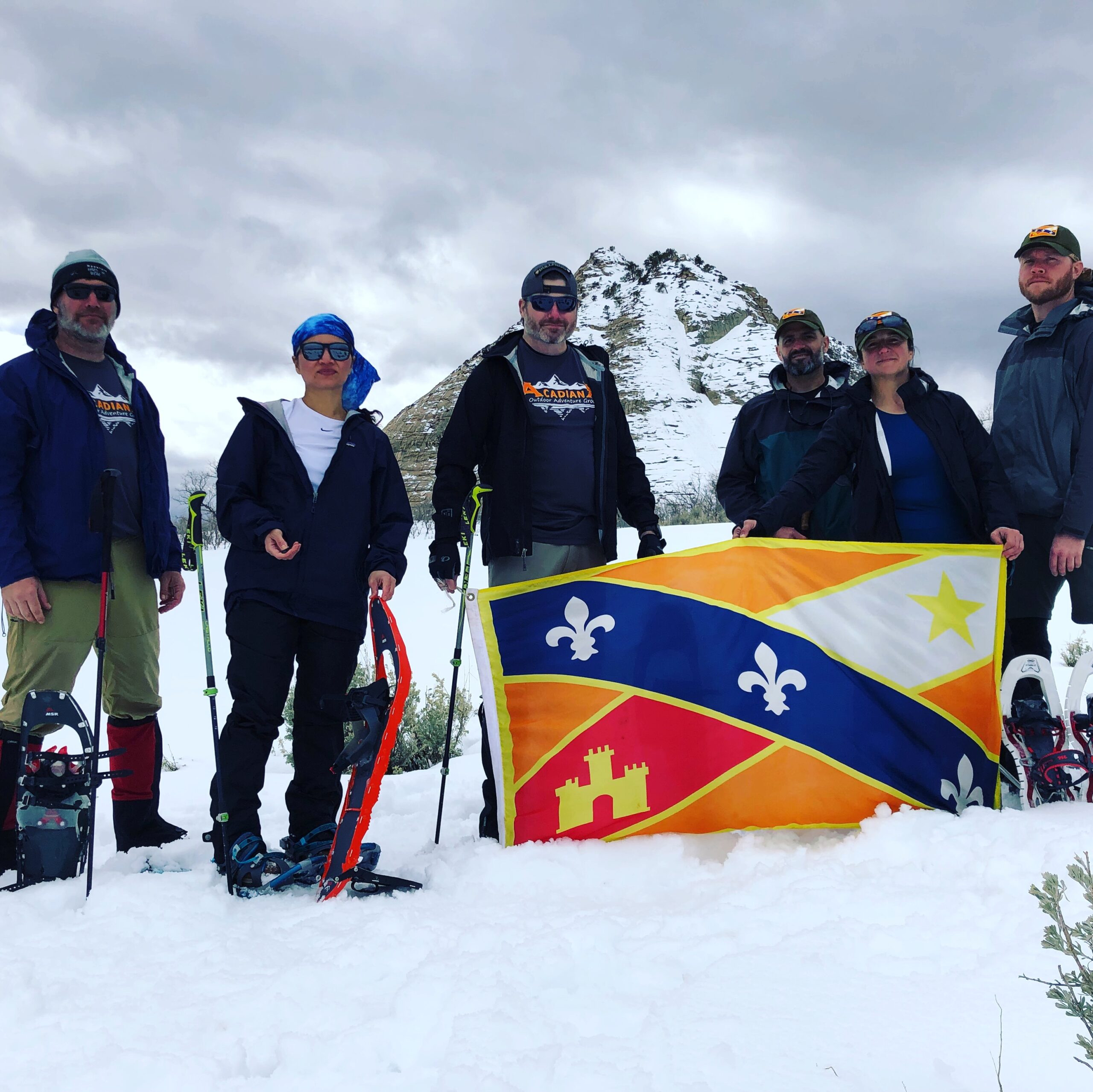
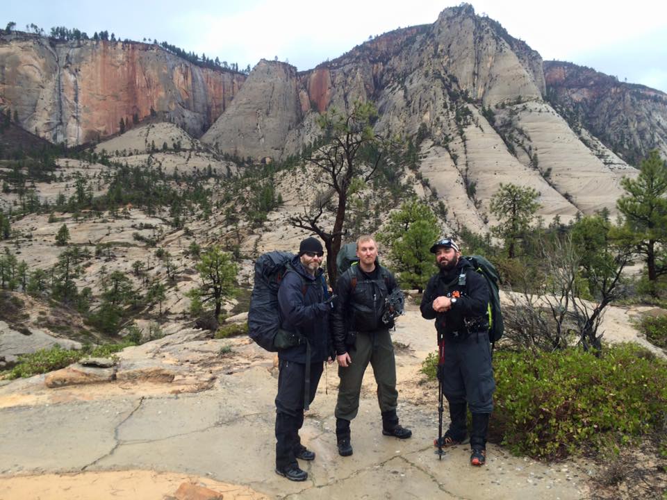
Photo Gallery
Zion Trip Photos