
Death Valley
Description
Hottest, Driest, and Lowest National Park
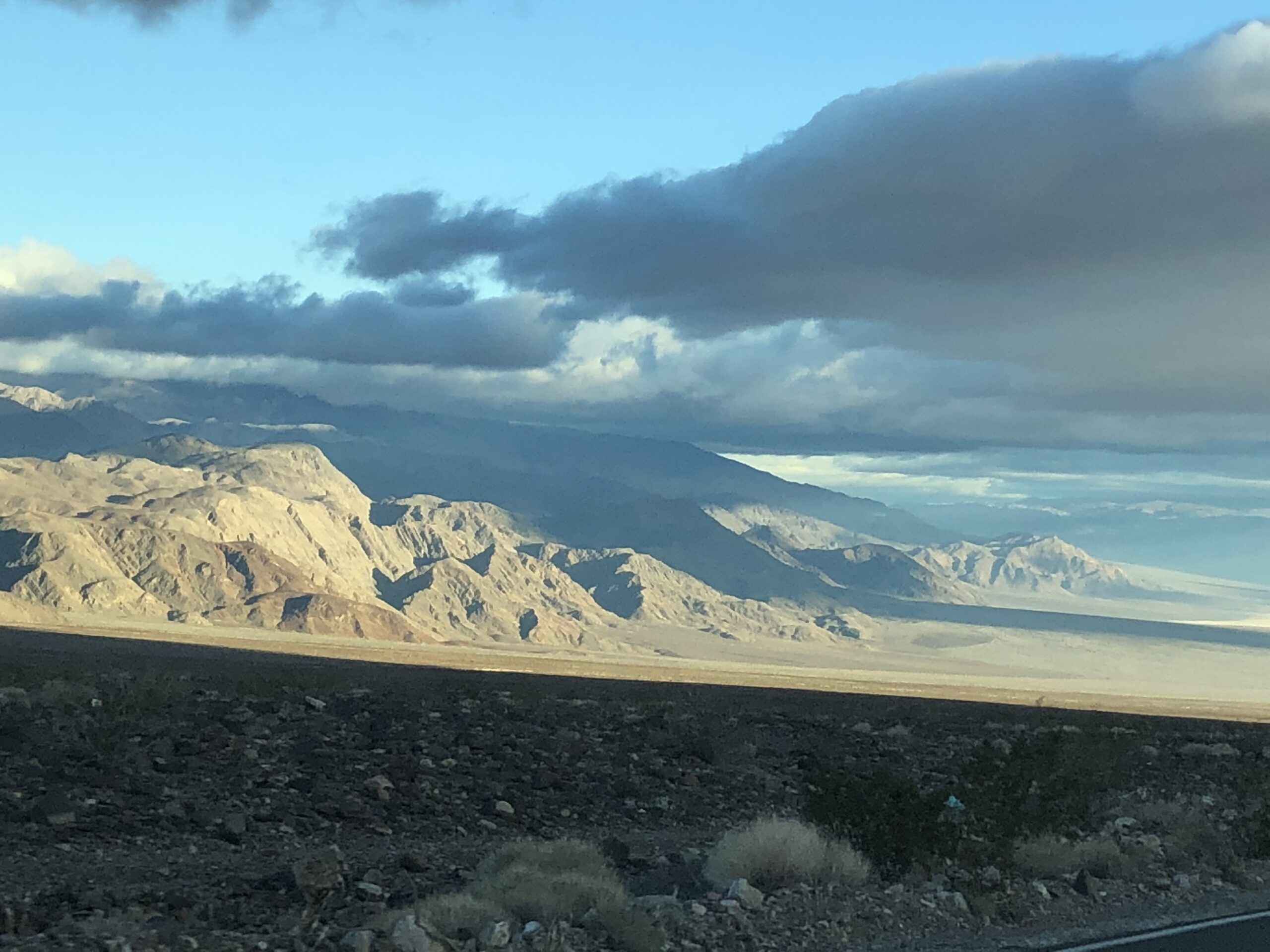
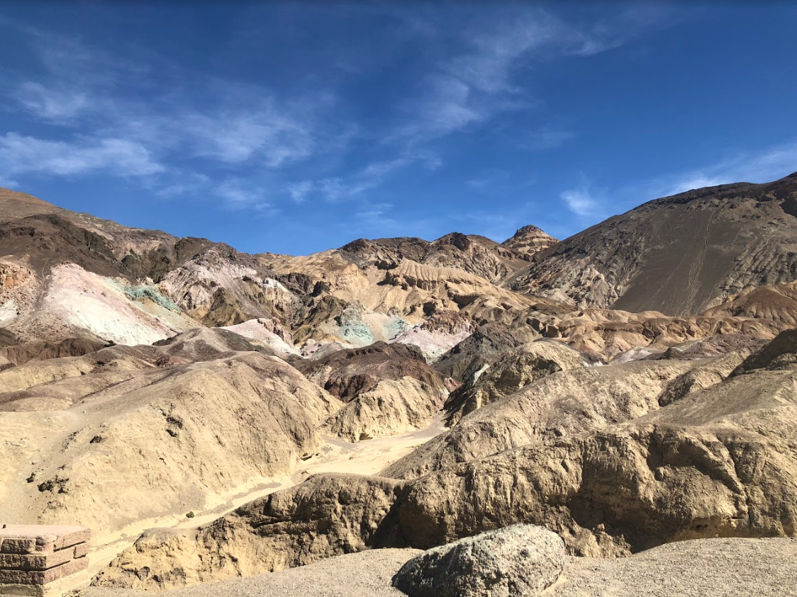
In this below-sea-level basin, steady drought and record summer heat make Death Valley a land of extremes. Yet, each extreme has a striking contrast. Towering peaks are frosted with winter snow. Rare rainstorms bring vast fields of wildflowers. Lush oases harbor tiny fish and refuge for wildlife and humans. Despite its morbid name, a great diversity of life survives in Death Valley.
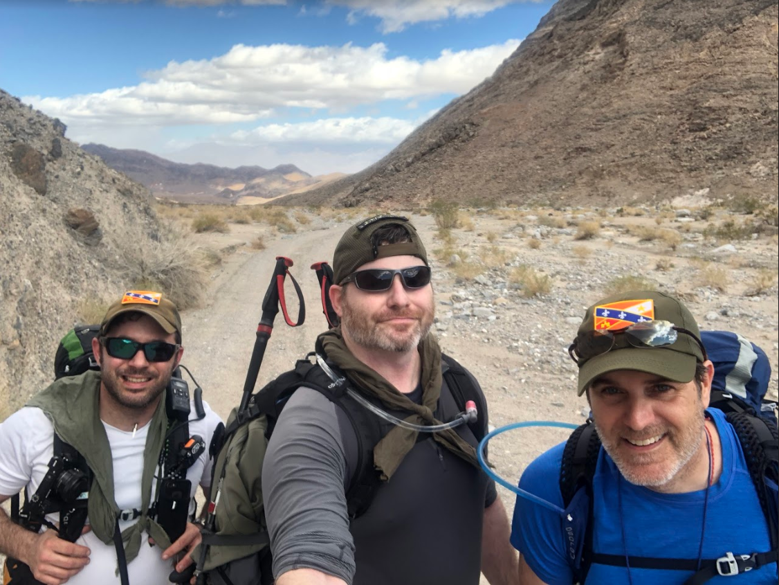
This will be a multiday backpacking adventure that will take you to some of the most remote locations of the park. Our first task will be to hike the Cottonwood/Marble Canyon Loop over the first 3 days. On the 4th day we will attempt to summit the highest peak in Death Valley, Telescope Peak. Finally we will spend the 5th day doing day hikes to various locations around the park.
Cottonwood/Marble Canyon Loop
This 26-mile route is quite strenuous, and it’s recommended that visitors with backpacking and route finding is recommended. Most take the route in a clockwise direction, which is described here.
Starting from the Stovepipe Wells Campground, visitors will drive west on Cottonwood Canyon Road. The road is rough, and you may only be able to reach the end of it in a high-clearance vehicle. Though the road will be rough but passable for the first 8 miles, and may be impassable for the final 2 miles to the junction with the Marble Canyon Road.
From the intersection with the Marble Canyon Road, you’ll begin your loop. Follow the rough outline of the Cottonwood Canyon Road for 8.5 miles, which will be a nice warm up for the rest of the route. The way is easy to navigate, even as it narrows from a wide roadbed to a trail that winds through the first canyons that you’ll see. The trail comes to an end at the first seasonal water source, marked by a grove of cottonwood trees. There is great camping at this juncture.
Continuing on, you’ll make your way to Cottonwood Spring. The going from here is a little more rugged, though you’ll be making your way up fairly gentle slopes. Enjoy the hiking though here, as you’ll first make your way through a steep canyon before coming to an area densely forested with cottonwood trees. There is one tricky area for navigation, and you’ll want to make sure to keep a look out for a faint footpath on the right (north) side of the canyon. If you hit a large rock cairn, retrace your steps, and look for the proper path. A good sign that you’re on the right track will be signs of wild burros and horses, as they also tend to seek out Cottonwood Springs. Once you’ve reached the spring, be sure to take a break, potentially spend the night, and above all, fill up on water. This might be the last place to replenish bottles, depending on the season.
From Cottonwood Springs, visitors will make their way to Deadhorse Canyon. The trail dwindles in this portion, so a map, compass, and navigation skills may be required. There are a few old markers that will point you in the right direction, but you’ll want to head down a long valley and keep the mountains to your right. Eventually, you’ll turn up into the mountains through a steep gully which leads to a low saddle that will allow you to cross from the large valley into Deadhorse Canyon.
Keep your wits about you, as navigating to Deadhorse Canyon is the most confusing portion of the route. To access Deadhorse Canyon, you’ll have to descend into a different canyon, which will be lush with vegetation. Head a short way (.1 mi) into this canyon, and then make your way uphill to the north, and drop into Deadhorse Canyon. There is incredible camping here, and ample shade due to the old growth Cottonwoods that thrive in the area.
Working your way out of Deadhorse Canyon and through Marble Canyon is one of the highlights of the route. Marble Canyon is filled with distinctive narrows, and the towering canyon walls provide a sense of scale. There are three defined narrows, each of which have their own character. Use caution, and keep an eye on the weather when working your way through this section, as flash flooding occurs after storms, and can be dangerous. You may have to work your way around the remaining debris of previous floods. Follow the canyons until you reach the first signs of Marble Canyon Road.
The final ~2 mile stretch from the end of the narrow to the junction of Marble Canyon Road and Cottonwood Springs Road is gentle on weary visitors. It’s easy to find the roadbed, and you’ll be moving through an open wash. If you’re visiting the park in February to April, keep an eye out for the wildflowers that may be in bloom along the rocky slopes.
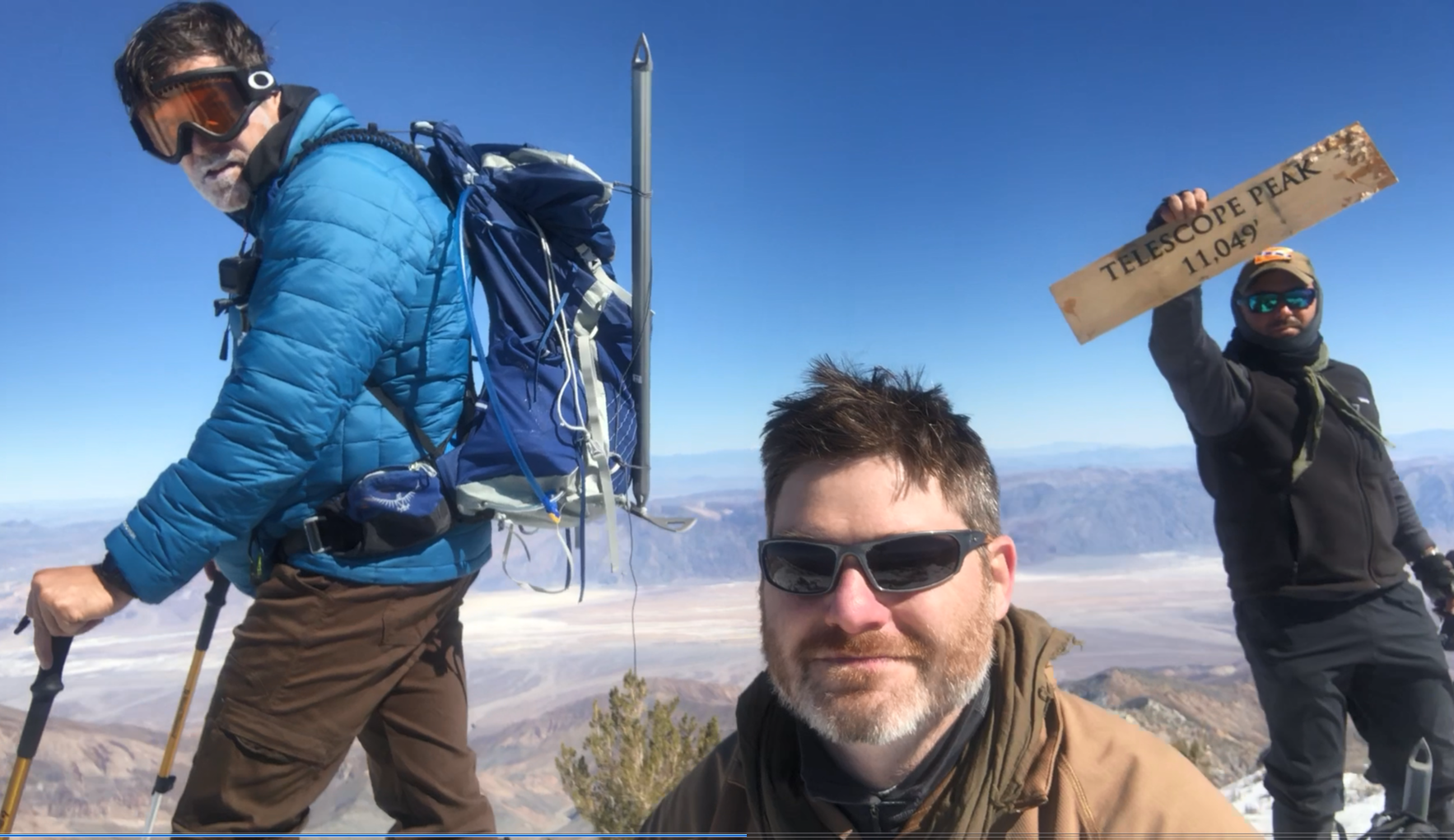
Telescope Peak
The trail to Telescope Peak, the highest point in Death Valley National Park, is a 14 mile round-trip hike, beginning and ending at the Mahogany Flat campground. The standard route has an average gradient of 8% that slowly leads to the summit overseeing the park. While this is a difficult trail, there is no requirement for a permit, though it is always suggested to contact the Ranger Station for trail conditions. The standard route is maintained by these same rangers.
The trail begins at the Mahogany Flat Campground and winds its way to Arcane Meadows in about two miles. Between Arcane Meadows and the summit of Telescope Peak are five winding miles, consisting of trail that mainly follows the ridgeline. Nearby Bartlett Peak and Rogers Peak are both accessible by this trail, while adding insignificant amounts of extra effort or mileage.
If you are interested in this trip send us an email at: info@acadianx.com
Photo Gallery
Death Valley Adventure - 2018